Satellites use a camera to take pictures. A radar transmits an electronic signal that bounces off objects and returns for analysis. Both systems can detect stationary or moving objects, but the display presented on a viewing screen can differ immensely. Satellite cameras can show images as they actually appear, but radar can create representations to show things the camera may not reveal.
Satellite Cameras
Video of the Day
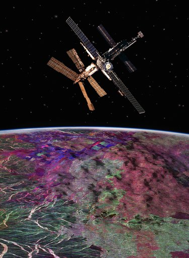
Satellites can carry many sorts of digital still and video cameras that send signals back to Earth for thousands of applications. They can use different lens and filters to pierce through certain types of weather obstructions and can focus on single small object or wide areas. Weather satellites can take pictures of an entire hurricane several miles wide. A surveillance camera can monitor the activities of people or vehicles or photograph documents to such accurate detail that the operator can read them.
Video of the Day
Camera Pictures
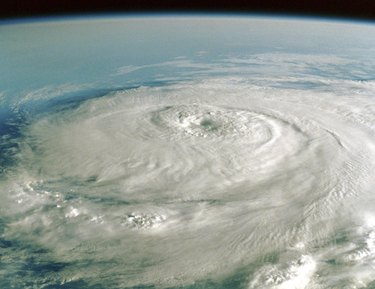
Satellite pictures appear as any camera presentation on a computer or video screen. The pictures illustrate what the camera "sees," usually the same as the human eye. Temperature detection by the sensors in the camera determine the colors that appear in the picture on the screen. Motion appears on a television screen and live satellite pictures can show what is happening in real time with pictures that look much like what you would see if looking through the same filters and lenses with your eyes.
Radar Operation
Radar sends a simple or complex electronic radio signal towards its target objects, which may be within a few yards or far above the Earth's surface. When the signal bounces off the object and returns to the receiver, the analysis of the signal can determine certain facts. The time it takes for a simple signal to return determines the distance and the antenna position determines relative azimuth and altitude. The phase and frequency differences between more complex transmitted signals and the one received determine speed and direction. Some radars use combinations of signals for more detailed information.
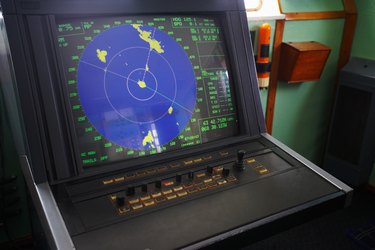
Radar Images
The information received from the analysis of the received signal can be presented in several ways. A policeman's radar may only tell the speed of the target in digital figures. A more complex radar may present a computer screen presentation such as a hurricane using different colors for the background, the outline of the storm, cloud thickness, temperature, wind velocities and rainfall. Any information that the analysis of the received signal can provide may be presented to a screen in any manner that a computer can create images.