LiDAR Drones Uncover Lost WWII Battlefield in Solomons
On a jungle-choked ridge in the Solomon Islands, a drone carrying a laser scanner just corrected a mistake that had shaped the historical record for decades. Researchers used LiDAR drones to uncover a lost WWII battlefield on New Georgia Island, mapping terrain where American forces fought in July 1943 and where 23 U.S. servicemen remain missing to this day (Lidar News).
A team from Binghamton University, working with the Defense POW/MIA Accounting Agency (DPAA), flew 25 drone missions over a one-square-kilometer stretch of New Georgia's Dragon's Peninsula (Lidar News; Binghamton University). The goal was to find physical traces of a battle that no one has ever fully mapped, and to narrow down where the missing might still be.
The technology behind it is simpler than it sounds. LiDAR drones fire laser pulses through gaps in the tree canopy, and software later strips out the vegetation returns to reveal the bare ground beneath, turning dense jungle into a 3D model of foxholes, trails, and craters. What follows is how that process works, what it turned up on New Georgia, and what still has to happen before any of the missing servicemen come home.
How LiDAR mapping in dense jungle reveals a lost WWII battlefield
Video of the Day
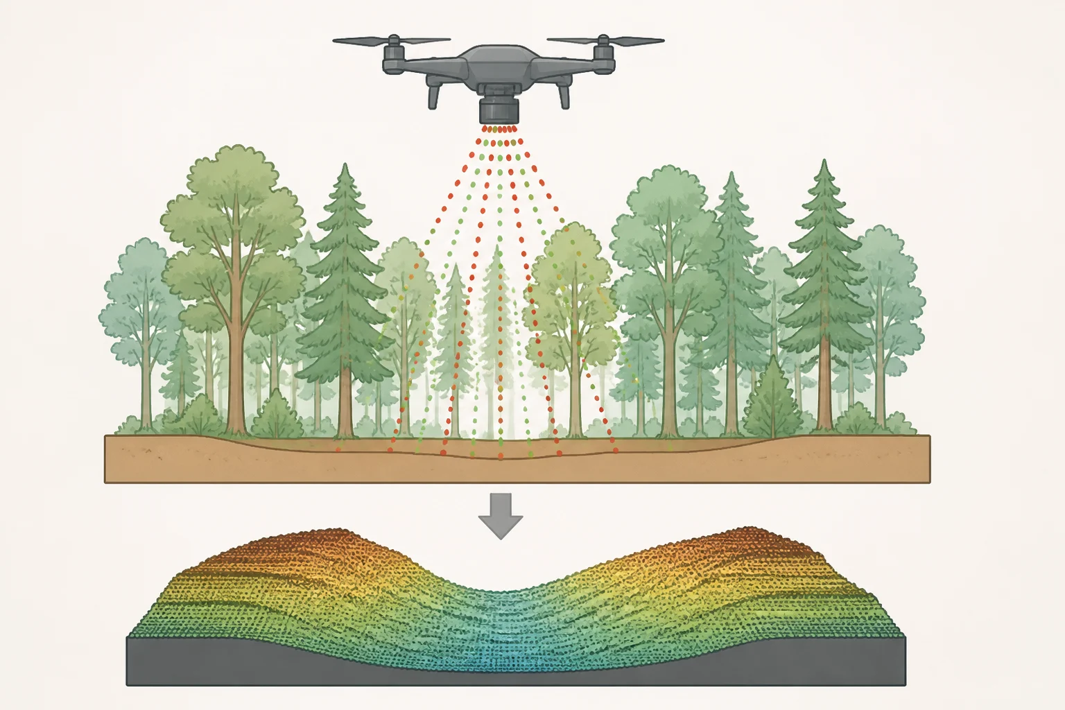
LiDAR stands for light detection and ranging. A pulsed laser bounces off the ground and the return signals build a three-dimensional model of the terrain, even where heavy tree cover would blind an ordinary camera (Binghamton University).
The real trick isn't the laser. It's the flight pattern. Flying tight, systematic grids lets enough pulses slip through small gaps in the canopy to hit the forest floor, and software later filters out the returns that bounced off leaves and branches, leaving a bare-earth model of the ground (Binghamton University). Think of it like shaking a sieve of sand over grass: most grains catch on the blades, but enough fall through to trace the shape underneath.
In remote, high-canopy terrain like New Georgia's, ordinary camera-based mapping struggles to see the ground at all. Airborne LiDAR's laser pulses provide the precision needed to pick up subtle modifications in the landscape, from burial mounds to old supply trails (Lidar News).
This isn't the first time the method has proven itself in old battlefields. A 2022 drone-mounted LiDAR survey of Germany's Hürtgen Forest generated roughly 100 points per square meter, about ten times denser than a prior government airborne scan, sharp enough to confirm foxholes and dugouts once researchers walked the ground (Antiquity, 2022). A 2023 survey of the Battle of the Bulge site used drone LiDAR and precision mapping to identify more than 940 battlefield features in the dense forests of the Ardennes, many of which archaeologists later confirmed on foot (Antiquity, 2023).
Video of the Day
What the scan uncovered on New Georgia Island
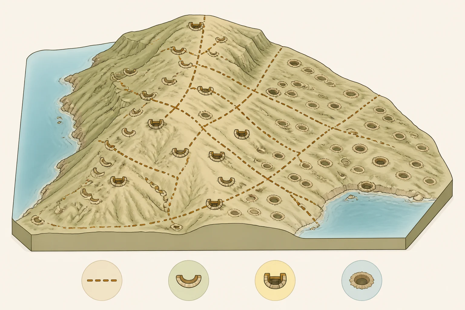
The New Georgia survey picked up combat trails, foxholes, machine-gun nests, and bomb craters preserved beneath the canopy on Dragon's Peninsula, the site of one of the campaign's larger engagements (Lidar News; Binghamton University). Geography professor Thomas Pingel put the goal plainly: find the trails, foxholes, and machine-gun placements still written into the forest floor, and the search worked (Binghamton University).
The most significant find wasn't a new artifact. It was a correction. Wartime accounts described four parallel ridges forming the Japanese defensive line, and that description has guided researchers for decades. The bare-earth model showed something different: a single ridge. The "four ridges" turned out to be four separate defensive belts along that one landform, a mix-up traced back to a later written account that had confused the number of defensive lines with the shape of the land itself (Lidar News; Binghamton University).
Ground teams from the International Archaeology Research Institute walked the mapped sites and matched the digital picture against physical evidence: barbed wire, Japanese supply canisters, gas masks, grenades, mortars, and bomb fragments (Binghamton University). Project lead Carl Lipo described the site as remarkably intact. "You can see Japanese food canisters and cans and gas masks, and there are grenades and mortars still there," he said. "You can see these gigantic bomb craters, and there are bits and pieces of the bomb" (Binghamton University).
That combination, a laser-built map confirmed by boots on the ground, is the clearest evidence yet that LiDAR isn't just producing attractive terrain renderings. It's correcting a historical record the search effort has leaned on for 80 years.
The Battle of New Georgia and the hunt for 23 missing servicemen
In July 1943, American forces fought to cut Japanese supply lines running between Bairoko Harbor and the Munda airstrip (Lidar News). Lipo frames the problem the team is up against in blunt terms: "We know the battle happened, but exactly how the losses took place is a puzzle. How do we figure out what happened on the actual landscape?" (Binghamton University).
The historical sketch is grim and specific. U.S. troops pushed through the first two defensive lines, then were thrown back between the third and fourth under heavy fire. "Because of the heavy fire, they had to retreat and leave the bodies behind," Lipo said. "Knowing the extent of the battlefield is critical" (Binghamton University).
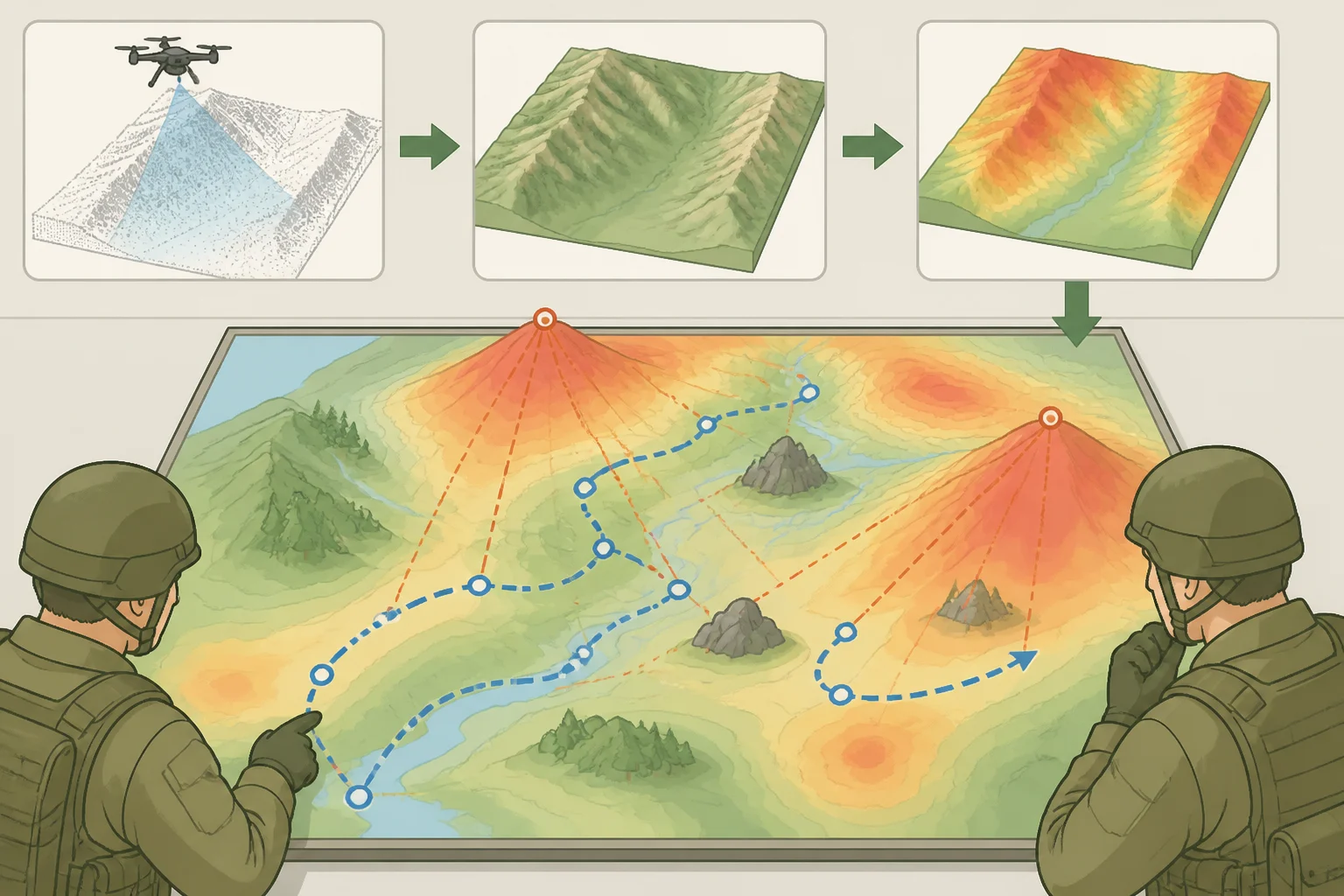
Before a single drone ever took off, the team ran after-action reports, hand-drawn maps, and battle accounts through AI software to build what they call a probability map, a digital hypothesis of where patrols likely moved that the LiDAR data could then test against the real terrain (Binghamton University). With the terrain corrected, researchers can now model lines of sight and machine-gun fire arcs, narrowing where excavation and magnetometry, a technique that detects buried metal, should focus next (Lidar News; Binghamton University).
None of that has produced a recovery yet. The survey has generated candidate areas for future magnetometry and excavation work, not remains (Binghamton University). The full extent of the battlefield also remains unknown; future expeditions are planned to explore the southern defensive lines, along with positions to the east and west, areas this survey never touched (Binghamton University).
What LiDAR can't tell you on its own
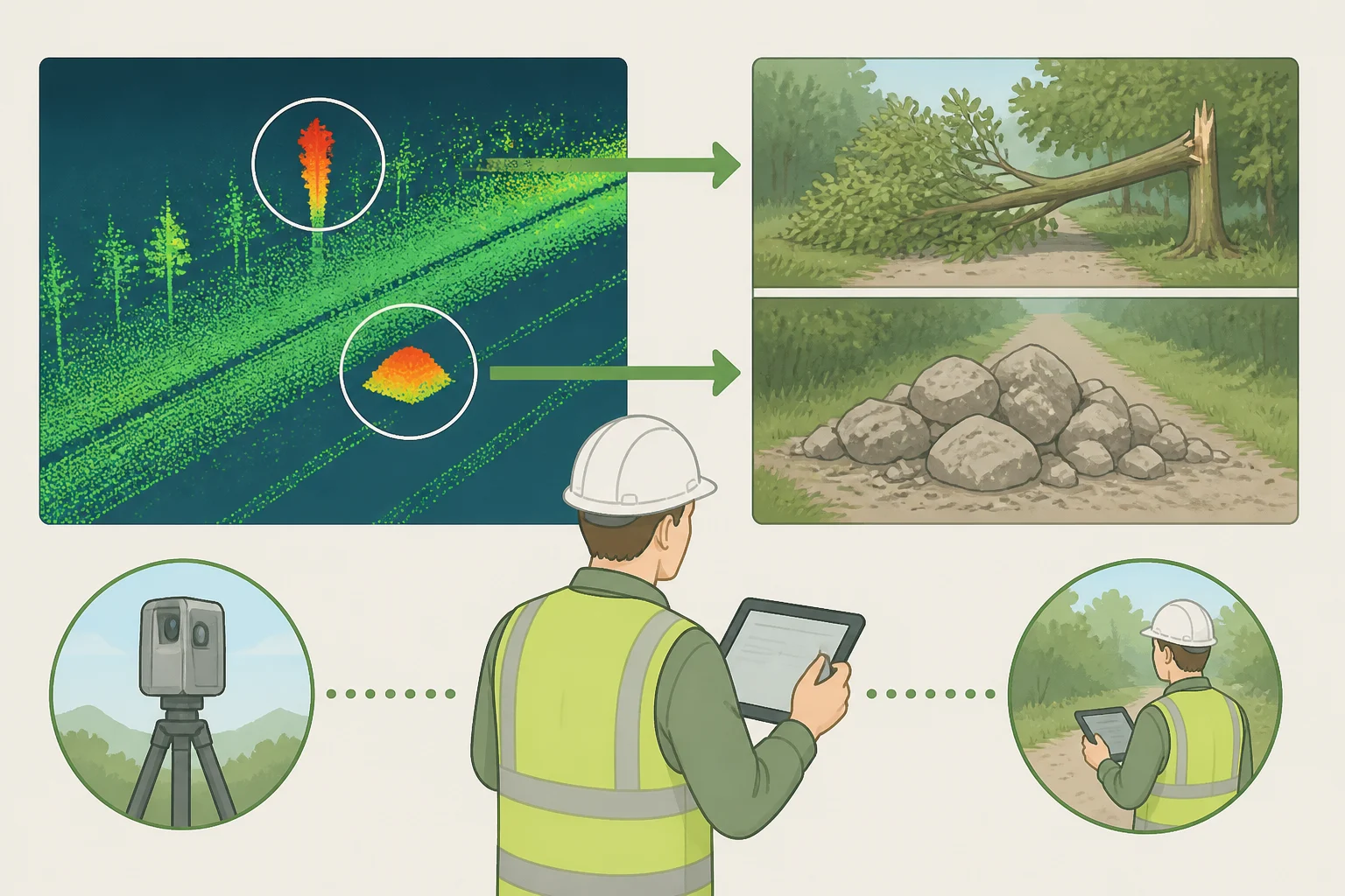
A LiDAR scan identifies shapes in the terrain. It doesn't identify what caused them. A depression in a bare-earth model has to be checked against artifacts, archival records, and someone physically walking the site before anyone can say with confidence whether it's a foxhole, a bomb crater, or just a fallen tree's root ball (Antiquity, 2022).
The Kall Trail survey in Germany is a good illustration of why that matters. Researchers there found that looters had dug into surviving dugouts, and that reenactors had occupied and reshaped historic positions, including one "wartime" foxhole that turned out to be a modern replica built around a misattributed photograph from a different campaign entirely (Antiquity, 2022). Storms, bark-beetle damage, and erosion have reshaped that same stretch of forest since 2020, a reminder that even a precise scan only captures a landscape that keeps changing underneath it (Antiquity, 2022).
The Battle of the Bulge team draws a broader conclusion from their own survey: results like theirs raise real questions about how to manage and protect a major modern conflict landscape before more of it is lost to development, erosion, or disturbance (Antiquity, 2023). New Georgia's team built that kind of ground-truthing into the project from the outset, which is exactly why a single corrected ridge and a cluster of confirmed artifacts carry more weight than a scan alone ever could.
What happens next
New Georgia marks the third WWII missing-personnel expedition Lipo and Pingel have run with DPAA, following earlier LiDAR surveys at Guadalcanal's Gifu strongpoint and Guam's Bundschu Ridge (Lidar News). That history suggests a working method rather than a one-off project, though whether it scales to every missing-in-action site remains to be seen.
The team is planning a follow-up expedition timed to the battle's anniversary in July, when drier conditions should make burial sites and old travel paths easier to spot against the landscape (Lidar News; Binghamton University).
What happens between now and then is the part nobody can script. Magnetometry and excavation still have to confirm whether the sites LiDAR flagged actually hold the remains of the 23 missing servicemen, and that outcome isn't known yet. Readers following the story should watch for word from DPAA or a published writeup of the findings, the kind of independent confirmation that turns a promising scan into a closed case.