Tsunamis are large movements of water triggered by subsea earthquakes. While rare, a tsunami's impact on coastal regions can be devastating. As of 2014, the most recent tsunami on record struck Fukushima, Japan on March 11, 2011, which also triggered the Fukushima Daiichi power plant accident. Because of the very high risk of loss of life, NOAA and its counterpart agencies around the world have several instruments for detecting a tsunami, or a potential tsunami. Most tsumanis, and evidence of tsunamis in the past, is on land surrounding the Pacific Ocean.
Seismographs
Video of the Day
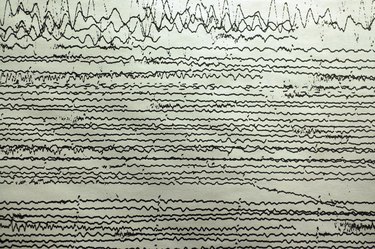
The first warning of a tsunami is usually a seismograph signal for an earthquake. The seismographic network used by NOAA and its counterpart agencies triangulates multiple signals to get a latitude and longitude for the source of the disturbance. Any underwater earthquake of significant magnitude can trigger a tsunami, and the seismographic waves travel through the crust of the earth much more rapidly than the tsunami itself travels through the ocean. The seismographs give a valuable first indicator of a possible tsunami, but there are many more earthquakes than tidal waves -- therefore, warnings from a seismograph are corroborated with other instruments before defensive actions are taken.
Video of the Day
Ocean Buoys
The first direct measurement of a tsunami comes from deep ocean buoys. NOAA and its counterpart agencies have a buoy system that floats on the surface of the ocean, and a pressure monitor that goes down to the sea floor. The pressure monitor is very sensitive, and can measure a difference in deep ocean water pressure corresponding to a millimeter or two of increased wave height.
Tide Gauge
Tide gauges are measuring systems that record the high and low tide heights at a specific location, and bind that information to a set of GPS coordinates. These systems are likelier to detect undersea landslides to their specific location than the distributed buoy network. The buoy network will detect many things that aren't a tsunami, so the data needs to be filtered. The tide gauge will detect tsunamis only when they happen, but won't give as long of a warning. Having both data sources allows for increased precision about the scope and affected area.
Satellite Altimetry
Satellite observation of the 2004 Indonesian tsunami happened more or less by chance, but the satellites were able to detect and measure the wave itself. The information learned from this has spawned research into using existing satellites to measure ocean distortions -- there are even proposals for using the gravitic distortion caused by the mass of moving water in a tsunami as a detection mechanism.